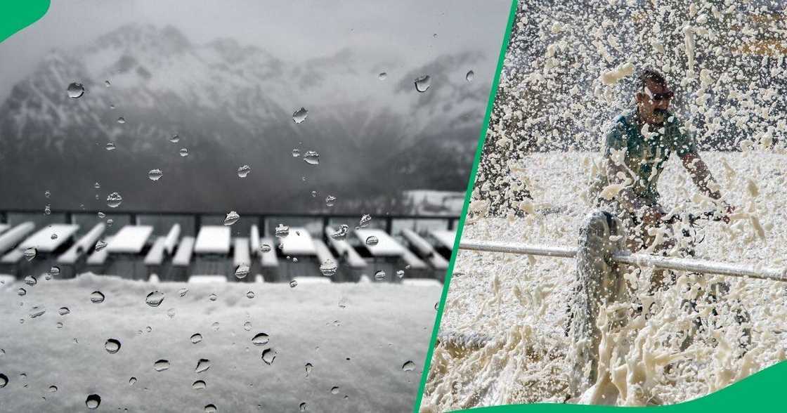
SA Braces for Cold Snap Starting Sunday, Weather Service Earmarks Tuesday As Coldest 2024 Morning
- The SA Weather Service has predicted extremely cold temperatures for the country from Sunday to Tuesday
- Tuesday morning is expected to be the coldest of 2024 so far, with most parts of SA predicted to drop far below freezing
- The cold front is expected to withdraw from the country on Tuesday as another approaches the Western Cape
PAY ATTENTION: Let yourself be inspired by real people who go beyond the ordinary! Subscribe and watch our new shows on Briefly TV Life now!

Source: Getty Images
CAPE TOWN — A frigid spell beckons as South Africa braces for the real winter business to kick in on Sunday.
A cold snap is expected to batter the country and stretch into the new week until Tuesday.
Cold snap to hit SA
The SA Weather Service (SAWS) said this was due to a series of cold fronts moving across the Western, Eastern and Northern Cape.

Read also
ANC and DA Gauteng provincial unity government talks collapse again due to cabinet seats impasse
SAWS said an intense cold front predicted to affect the western and central parts of South Africa starting Sunday was the first weather system in the impending series.
On Monday, the eastern parts will bear the brunt of the system, bringing snowfall over the southern and western high ground.
TimesLIVE reported that the seasonal weather event will accompany damaging winds over the interior and the coastline.
The weather service said maximum temperatures would not surpass 10°C in some areas.
It said the mercury was unlikely to exceed 4°C over the high ground as cold temperatures are predicted to move over the western parts from Sunday.
The rest of the country can brace for bitterly cold conditions on Monday.
SAWS said the cold front would withdraw from the country on Tuesday morning as another approached the Western Cape.
Accordingly, Tuesday morning would be the coldest morning of 2024 to date, with many localities in the country's interior expected to experience below-freezing temperatures.
More adverse weather events
Despite daytime temperatures expected to recover quickly, widespread morning frost would be a factor.
SAWS predicted widespread rainfall over parts of the Western and Northern Cape starting Sunday.
This meant heavy rain leading to potential flooding was anticipated over the western parts of the Western Cape.
"[We] advise that the public and small stock farmers apply the necessary contingency measures to safeguard their animals in the lead-up to the expected adverse weather," SAWS said.
It warned of strong winds of 30-50km/h expected on Sunday across most parts of the country. Additional winds likely to damage coastal infrastructure are possible over parts of the Cape provinces and the central interior.
Additional disruptions to harbours, ports, medium to large vessels, and even risks to life could not be ruled out.
Rough and high seas were expected along the Western and Northern Cape coasts on Sunday before spreading to the Eastern Cape coast later.

Read also
Rescue officials save Certima River from red wine flood after 2.2 million-litre tank bursts
PAY ATTENTION: Follow Briefly News on Twitter and never miss the hottest topics! Find us at @brieflyza!
Source: Briefly News


