South African Weather Service Predicts Devastating Storms in Eastern Cape and Free State
- The South African Weather Service warned that the severe thunderstorms in the country will persist until the first weekend of November
- SAWSA released various Yellow Level warnings for different parts of the country, including the Free State and the Eastern Cape
- The Eastern Cape is likely to be the most affected, as a Yellow Level 4 warning was issued for parts of the province
For seven years, Tebogo Mokwena, Briefly News’ Deputy Head of Current Affairs, South Africa, covered a range of topics, including accidents, fires, outbreaks, nature, weather, and natural disaster-related incidents, at Daily Sun and Vutivi Business News.

Source: UGC
GAUTENG — The South African Weather Service (SAWS) has warned that parts of the country will experience a weekend full of thunderstorms and severe weather.
According to SAWS' South African Weather Service Facebook page, four Yellow Level warnings were issued for 31 October 2025 and 1 November. The central parts of the country will experience severe thunderstorms and inclement weather conditions.
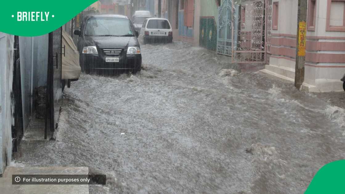
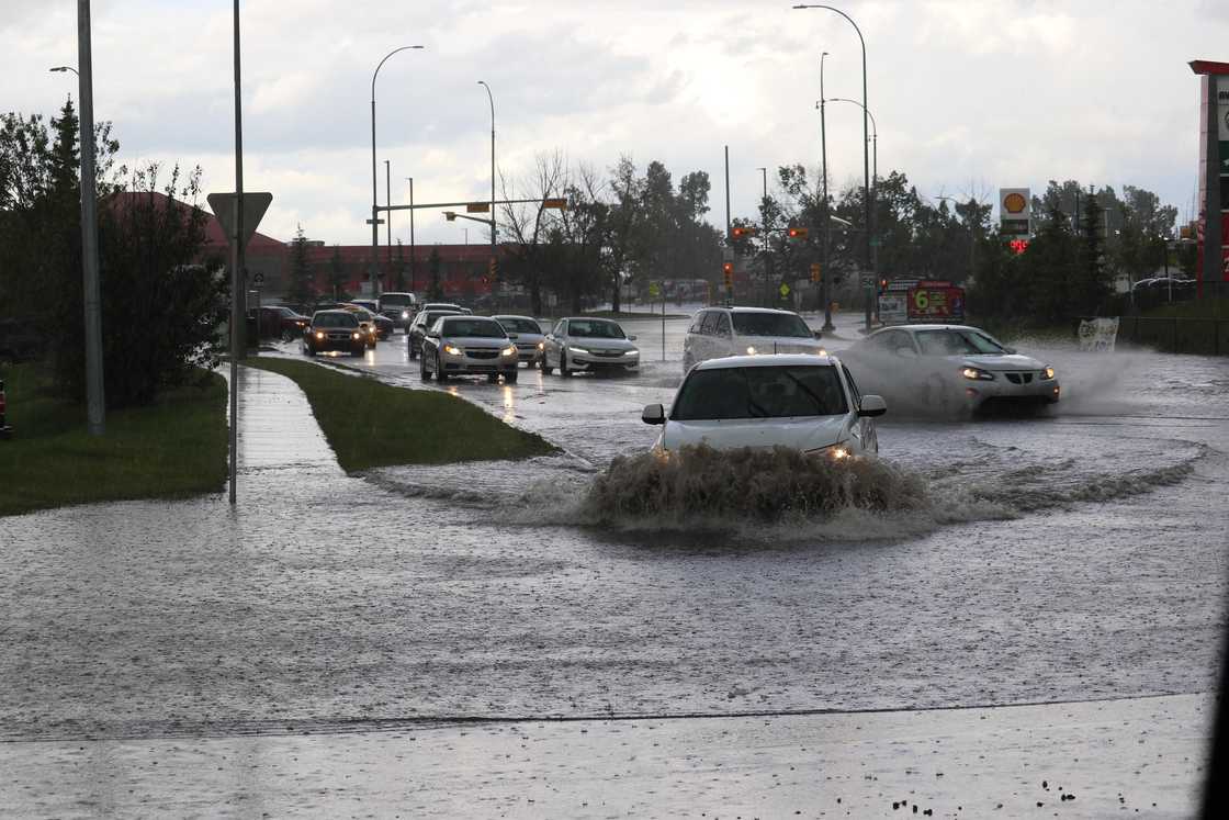
The western part of the Free State, the eastern part of the Northern Cape, and Aliwal North in the Eastern Cape have been issued a Yellow Level 4 warning, which will bring with it localised flooding of susceptible roads, low-lying areas, and bridges. Large amounts of small hail, strong damaging winds and heavy downpours, and excessive lightning will fall on 31 October.
The eastern parts of the Northern Cape, much of the Free State, parts of Gauteng, Mpumalanga, the North West, and the Northern Cape will experience Yellow Level 2 weather. These areas will experience localised flooding, large amounts of hail, heavy downpours, and excessive lightning accompanied by damaging winds.
Wetter conditions persist on 1 November 2025
The first Saturday of November will bring calmer skies for the Eastern Cape, Free State, and the Northern Cape. Parts of these provinces will experience a 30% chance of rainfall and thundestorms. Gauteng, Mpumalanga, and KwaZulu-Natal (KZN) will expect a 60% chance of thunderstorms.
The North West, parts of Gauteng including Johannesburg and the Sedibeng region, as well s parts of KZN, Mpumalanga and Limpopo including Polokwane and Musina, will experience Yellow Level 2 weather conditions. Thunderstorms, small hail in large amounts, damaging winds, and localised flooding are expected in the early morning in the Northern West and Gauteng. Limpopo, KZN, and Mpumalanga will experience similar conditions in the evening.

Source: UGC
Weather in October
Parts of Gauteng, KwaZulu-Natal, and Mpumalanga experienced thunderstorms and damaging winds on 7 October 2025. SAWS issued a Yellow Level 2 for damaging winds for the western parts of KwaZulu-Natal. The extreme parts of the Free State also experienced similar conditions.
SAWS also issued a Yellow Level Warning 4 for Mpumalanga, Limpopo, and KwaZulu-Natal. The thunderstorms resulted in localised flooding and amounts of hail on 27 October.
Coastline experiences damaging waves
In a related article, Briefly News reported that the coastline battled with damaging waves in September as SAWS issued a Yellow Level 2 warning. Owners of small vessels and fishing communities were on high alert.
The damaging waves struck between Cape Point, Kosi Bay, and Plettenberg Bay. The internal parts of the country also experienced severe weather patterns.
PAY ATTENTION: Follow Briefly News on Twitter and never miss the hottest topics! Find us at @brieflyza!
Source: Briefly News


