What is the longest river in South Africa? Top 10 list
Mzansi has an extensive river network, covering a total length of approximately 163,533 km. Some of the waterways flow through various countries in the Southern Africa region, and the water volume is generally higher in the east compared to the arid west. The longest rivers in South Africa have been crucial in supporting the thriving ecosystems along the course.
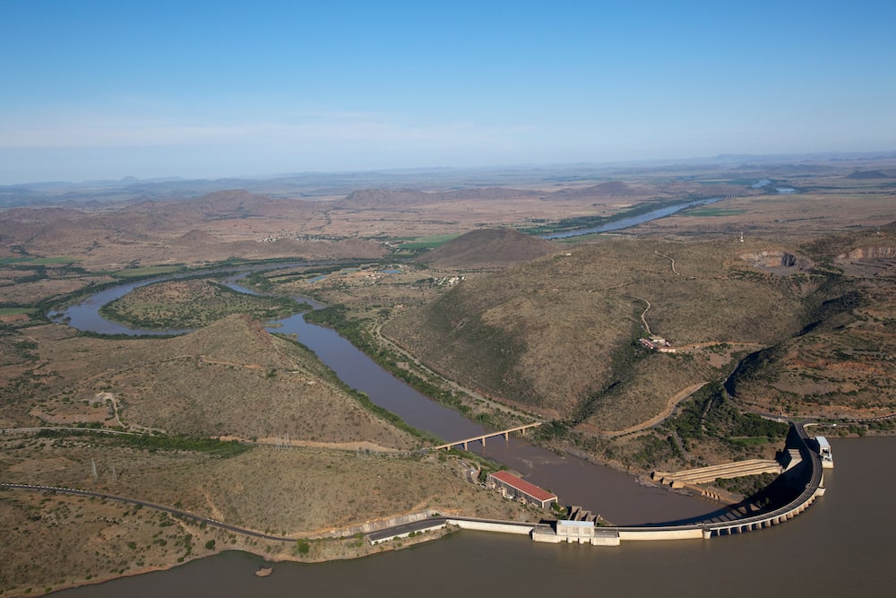
Source: Getty Images
Rivers are important to a country's economic and social development. They are crucial water sources for irrigation, hydroelectric power generation, transport, and maintaining the surrounding biodiversity. Some are sources of fish, while safe and navigable ones are popular recreation spots.
Which is the longest river in South Africa?
What are some major rivers in South Africa? The country's major waterways comprise 47% of the entire Mzansi river system, while large meandering rivers make up only 9% of the country's river length.
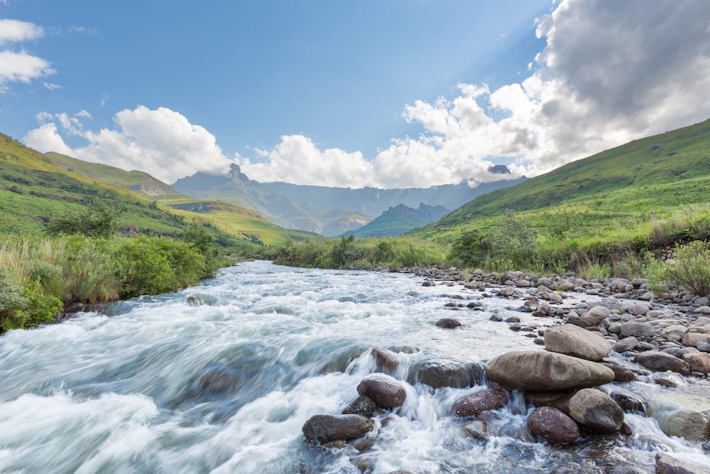
10. Tugela River: Approx 502 km (312 miles)
Source: Getty Images
Tugela is the largest waterway in the KwaZulu-Natal Province. It rises from the Drakensberg Mountains in Mont-aux-Sources at an elevation of about 11,000 feet and down the 948 meters Tugela Falls. It then follows the KZN midlands, through the Ladysmith Basin and the Tugela Trough into the Indian Ocean. Tugela's main tributaries are Buffalo and Mooi rivers, and its basin is approximately 29,100 km² (11,200 sq miles). Waterflow is regulated by Spioenkop Dam, while Tugela headwaters are diverted across the Drakensberg into Vaal Basin.
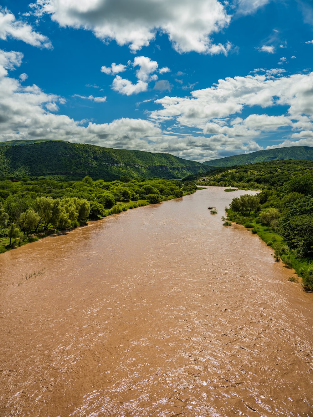
9. Great Kei River: Approx 320 km (200 miles)
Source: Getty Images
Great Kei, also called Groot-kei, flows through the Eastern Cape Province and is formed by the confluence of White Kei and Black Kei waterways in northeast Cathcart, southeast of Queenstown. Its longest tributary is the Tromo on the north, and it flows into the Indian Ocean at the Great Kei Estuary.
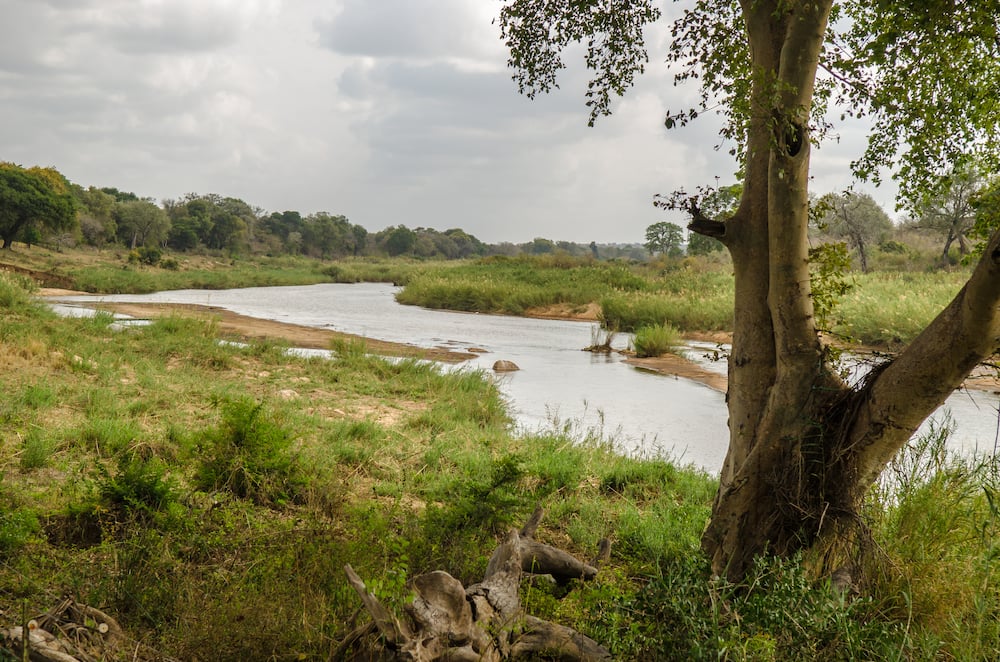
8. Olifants River, Limpopo: Approx 560 km (348 miles)
Source: Getty Images
Olifants is a tributary of the Limpopo River and passes through Mozambique and South Africa. It rises from Mpumalanga Province between Bethal and Breyten, flows north to the Limpopo Province, and then moves east through the Transvaal Drakensberg. Olifants joins the Letaba waterway after crossing Abel Erasmus Pass and the Lowveld.
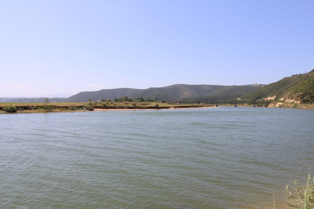
7. Gamtoos River: (Approx 645 km (401 miles)
Source: Getty Images
Gamtoos flows through the Eastern Cape bushveld and enters the Indian Ocean at an estuary located between Port Elizabeth and Jeffreys Bay. It is formed by two major waterways, Kouga and Groot, and has a catchment area of about 34,636 km² (13,373 sq miles).
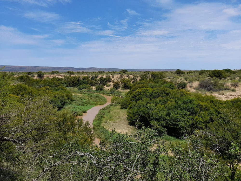
6. Great Fish River: Approx 692 km (430 miles)
Source: UGC
Great Fish, also called Groot-Vis, is located in southern South Africa in Cape Midlands, Eastern Cape Province. It rises from Graaff-Reinet and flows southwards through Cradock. It is then joined by Tarka, Baviaans and Kat Rivers further south before turning east to join the Koonap River. Great Fish then enters the Indian Ocean in southeast Grahamstown. The waterway has a drainage area of about 30,800 km² (11,900 sq miles).

Read also
3 Eastern Cape towns renamed after former minister Nathi Mthethwa gazetted name changes, sparking criticism
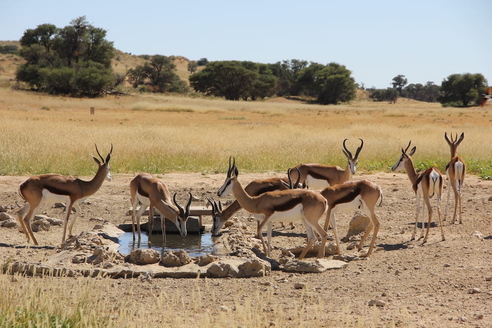
5. Nossob River: Approx 749 km (460 miles)
Source: Getty Images
Nossob River is a dry riverbed originating from west-central Namibia. It is formed by two intermittent waterways, the White Nossob and the Black Nossob, which rise from Windhoek, Namibia. Nossob forms part of the border between South Africa and Botswana and passes through the Kalahari Gemsbok National Park. The river is joined by the intermittently flowing Auob waterway from the southwest and then flows southwards to join the Molopo River, which enters the Orange.
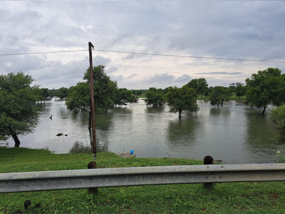
4. Molopo River: Approx 960 km (597 miles)
Source: UGC
Molopo rises from Molopo Oog, East Mafikeng, North-West Province, South Africa, and flows west then southwest to join the Orange waterway near the southeastern border of Namibia. It is intermittent and usually dry and flows slowly due to the low gradient. The Molopo Basin measures about 367,201 km² and is shared almost equally between South Africa, Namibia, and Botswana.

Read also
A look at Barbera Creecy, Naledi Pandor and 13 other female ministers making a mark in SA's government
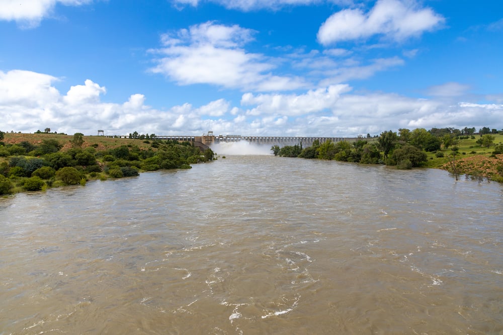
3. The Vaal River: Approx 1,210 km (750 miles)
Source: Getty Images
Vaal is a plateau river occupying a shallow bed and is the largest tributary of the Orange River in South Africa. It flows from Sterkfontein Beacon in Mpumalanga Province and then moves westwards, where it meets Orange near Douglas in the Northern Cape. Its flow is regulated by the Vaal Dam and the Vaalhartz irrigation scheme.
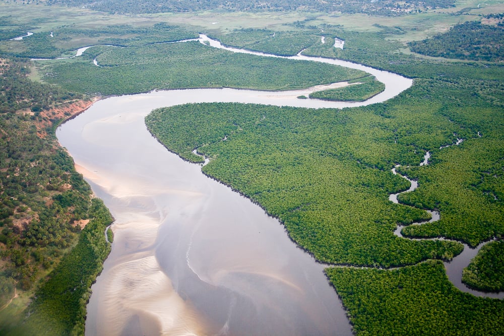
2. Limpopo River: Approx 1,750 km (1,087 miles)
Source: Getty Images
Limpopo rises from the Crocodile River in the Witwatersrand, South Africa and follows a semicircular course northeast, forming a border between the Limpopo Province and Botswana. It then moves eastwards between Limpopo Province and Zimbabwe and continues east through Mozambique and into the Indian Ocean.
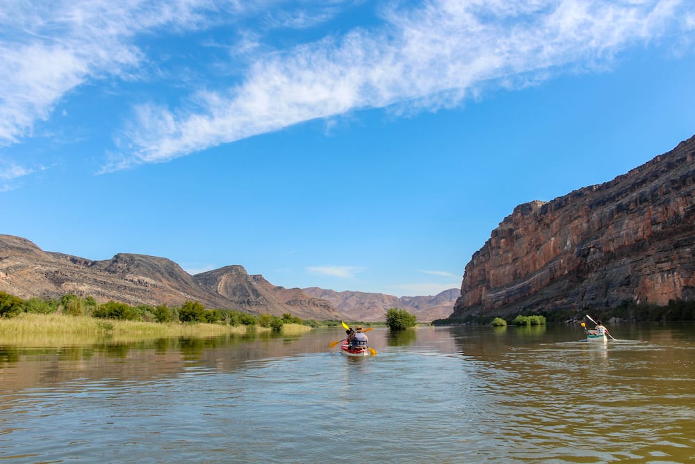
1. Orange River: Approx 2,092 km (1,300 miles)
Source: Getty Images
The Orange is South Africa's longest river. It starts in Lesotho's Drakensberg Mountains at an altitude of about 3,300 meters, extends westwards into South Africa and Namibia to the north, and then goes into the South Atlantic Ocean at Alexander Bay. The Orange forms international borders between Namibia and South Africa and between Lesotho and South Africa.
The Vanderkloof Dam and Gariep Dam hydroelectric stations harness Orange's power of approximately 12,890m³ per second. The Orange River Project and the Lesotho Highland Project were established along the Orange to provide water for irrigation and industrial development.
What are two major rivers in South Africa?
The two biggest rivers in South Africa are the Limpopo and Orange rivers. They are also among Africa's largest waterways.
What are the seven largest rivers in Africa?
Seven Africa's largest waterways are;
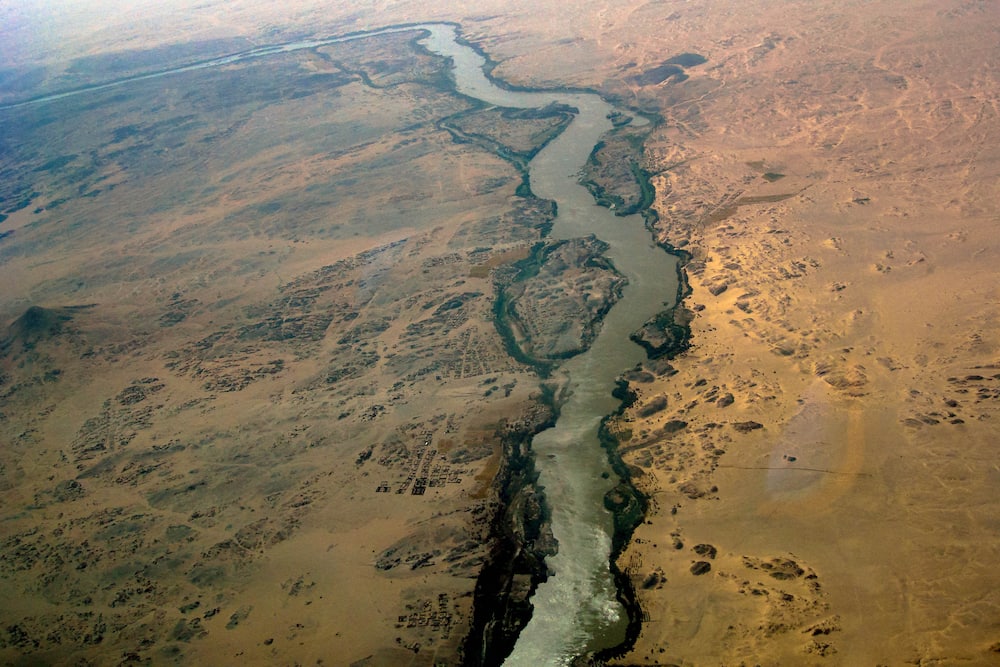
1. River Nile: Covers about 6,650 km (4, 132 miles) from Burundi through Rwanda, Uganda, South Sudan, Sudan, Ethiopia, and Egypt into the Mediterranean Sea.
Source: Getty Images
2. River Congo: Africa's second-longest, covering 4,700 km² (2,922 miles) from Angola, Cameroon, Central African Republic, DRC, and the Republic of Congo. It is also the world's deepest river measuring approximately 720 feet (220 meters) deep.
3. River Niger: It extends about 4,200 km (2,611 miles) across Western Africa through Algeria, Burkina Faso, Benin, Cameroon, Chad, Códe d'Ivoire, Guinea, Mali, Niger, and Nigeria.
4. River Zambezi: Zambezi is the largest river from Africa that flows into the Indian Ocean.
5. River Ubangi: It covers 2,270 km (1,410 miles) and flows through the Central African Republic, the Democratic Republic of Condo, and the Republic of Congo.
6. River Kasai: It is a tributary of the Congo River and covers a length of 2,153 km through Angola and the Democratic Republic of Congo.
7. River Orange: The largest and longest river in South Africa and the seventh longest on the continent. It covers a length of about 2,092 km (1,300 miles) from the Drakensberg Mountains in Lesotho through South Africa and Namibia into the Atlantic Ocean.
The longest rivers in South Africa have served surrounding communities for centuries. To ensure continued sustenance, the government and communities must ensure the rivers' health is maintained through proper conservation and management measures.
READ ALSO: The top 10 largest parks in the world ranked by size
Briefly.co.za highlighted the top ten largest parks in the world. Governments create parks to ensure sustainable nature conservation and controlled recreation.
Governments also protect vast natural resources like ocean ecology by establishing preserves. Chugach State Park in Anchorage, Alaska, is the largest park in the world, covering an area of about 200,400 hectares.
Source: Briefly News


